
Flood Watch
In 2021, with Can Sucuoglu at Pratt SAVI, I worked with the Science and Resilience Institute at Jamaica Bay and Cornell University Extension to explore ways to build on the Flood Watch project and interactive flood observation reporting system. We engaged with people from New York City coastal areas that experience regular “Sunny Day” flooding; (floods that occur because of sea level rise and high tides regardless of the weather) to learn more about what types of flood data are meaningful to residents, and how that data might be useful to them. We also explored designs for ways to make use of the archive of first hand reports of flood events in the neighborhood that have accumulated through Flood Watch.

About the data
Important Bird Areas (IBA), a program is a global initiative of BirdLife International, implemented by Audubon and local partners in the US. The program identifies and aims to conserve areas that are vital to birds and other biodiversity. Audubon New York. 2007, updated 2017. The ADS Warehouse particpates in the Certified WILDS program at Audubon.
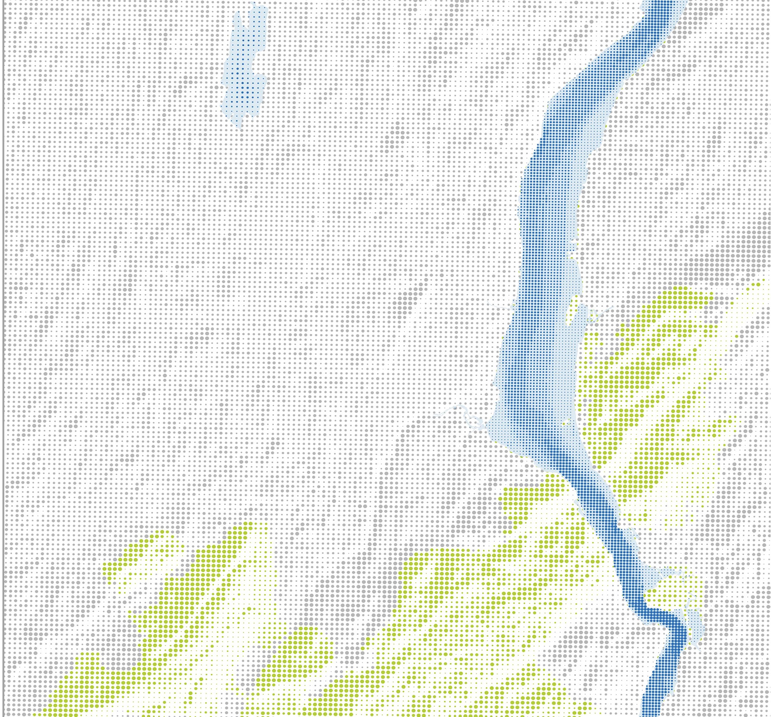
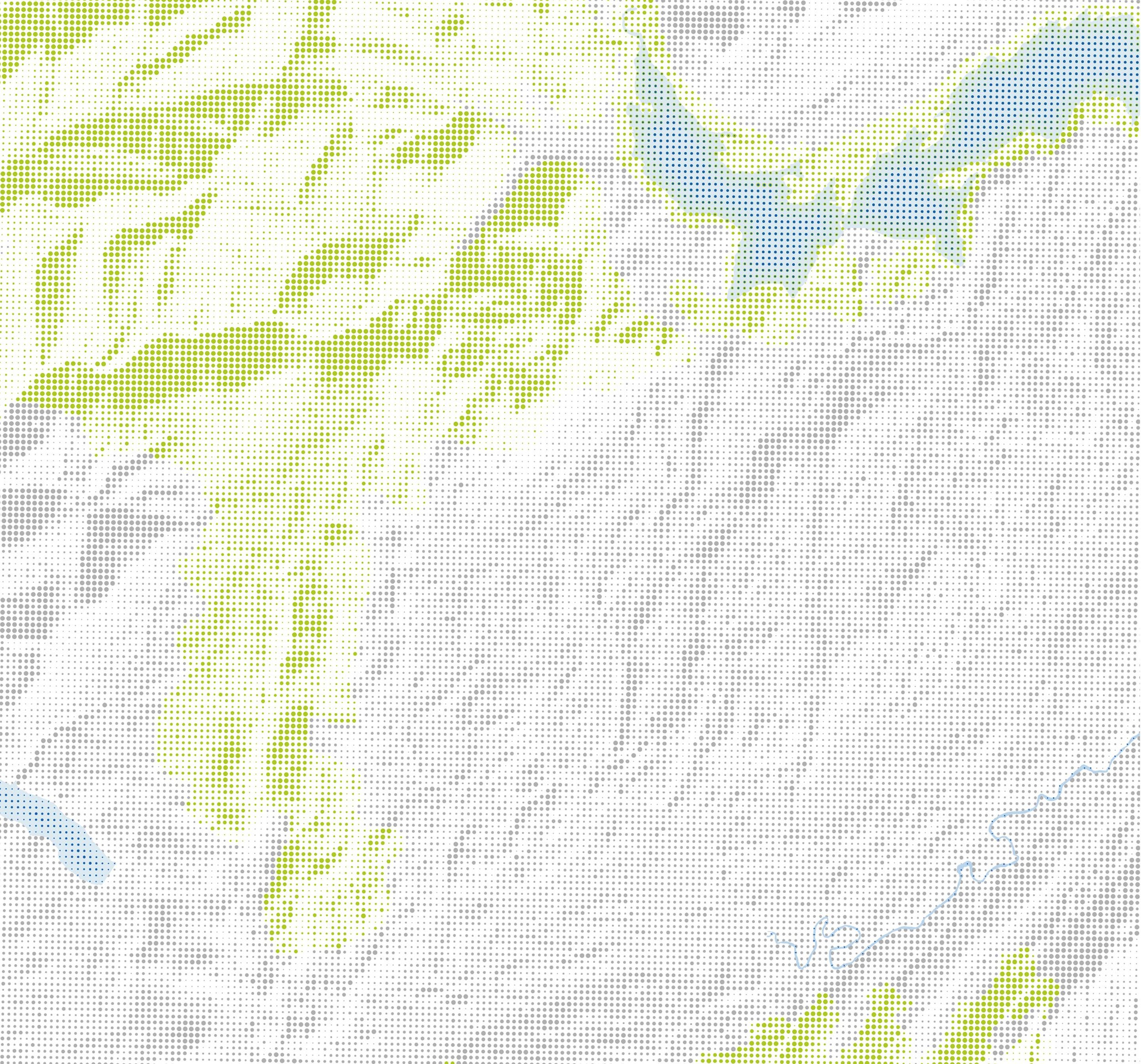
Submerged Aquatic Vegetation (SAV) is a productive nearshore underwater habitat that harbors a variety of fish and crustaceans. The NYSDEC Hudson River Estuary Program in collaboration with numerous partners has supported the mapping of vegetated habitats of the Hudson River Estuary.
Tidal Wetlands: 2014, updated 2016. Hudson River National Estuarine Research Reserve (HRNERR) and New York State Department of Environmental Conservation (NYSDEC).
Forest Patches: Forested areas greater than 100 acres in size. Forested areas are defined using 2016 national land cover types including deciduous forest, evergreen forest, mixed forest, shrub/scrub, and woody wetlands, and accounting for fragmentation by roads and railroads. This information can be used in conservation priority setting. NYSDEC, 2020.
NY Protected Areas Database: A spatial database of lands protected, designated, or functioning as open space, natural areas, conservation lands, or recreational areas.
Bing US Building Footprints: Microsoft, 2019
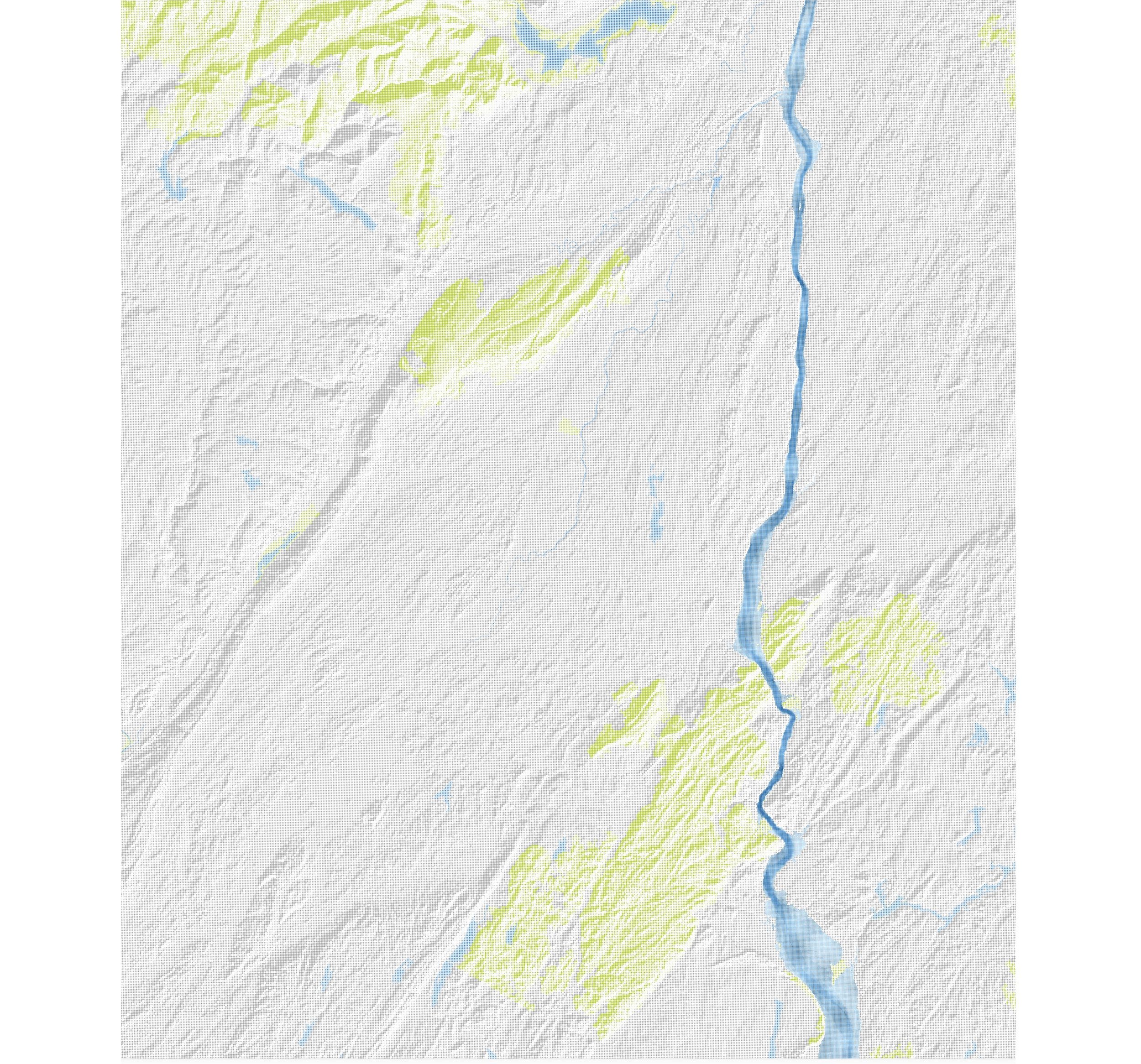
Topography + Bathymetry: US Geological Survey Digital Elevation Models