
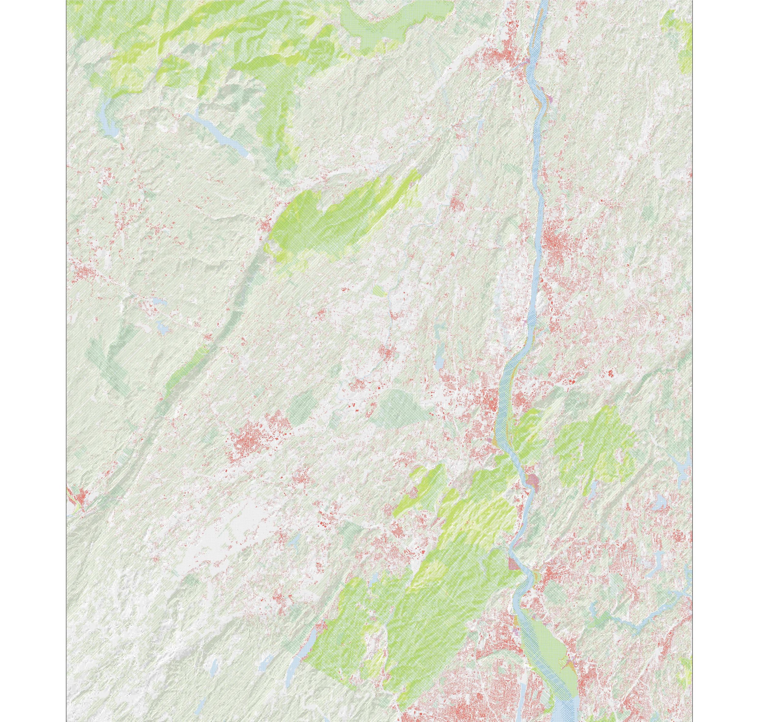
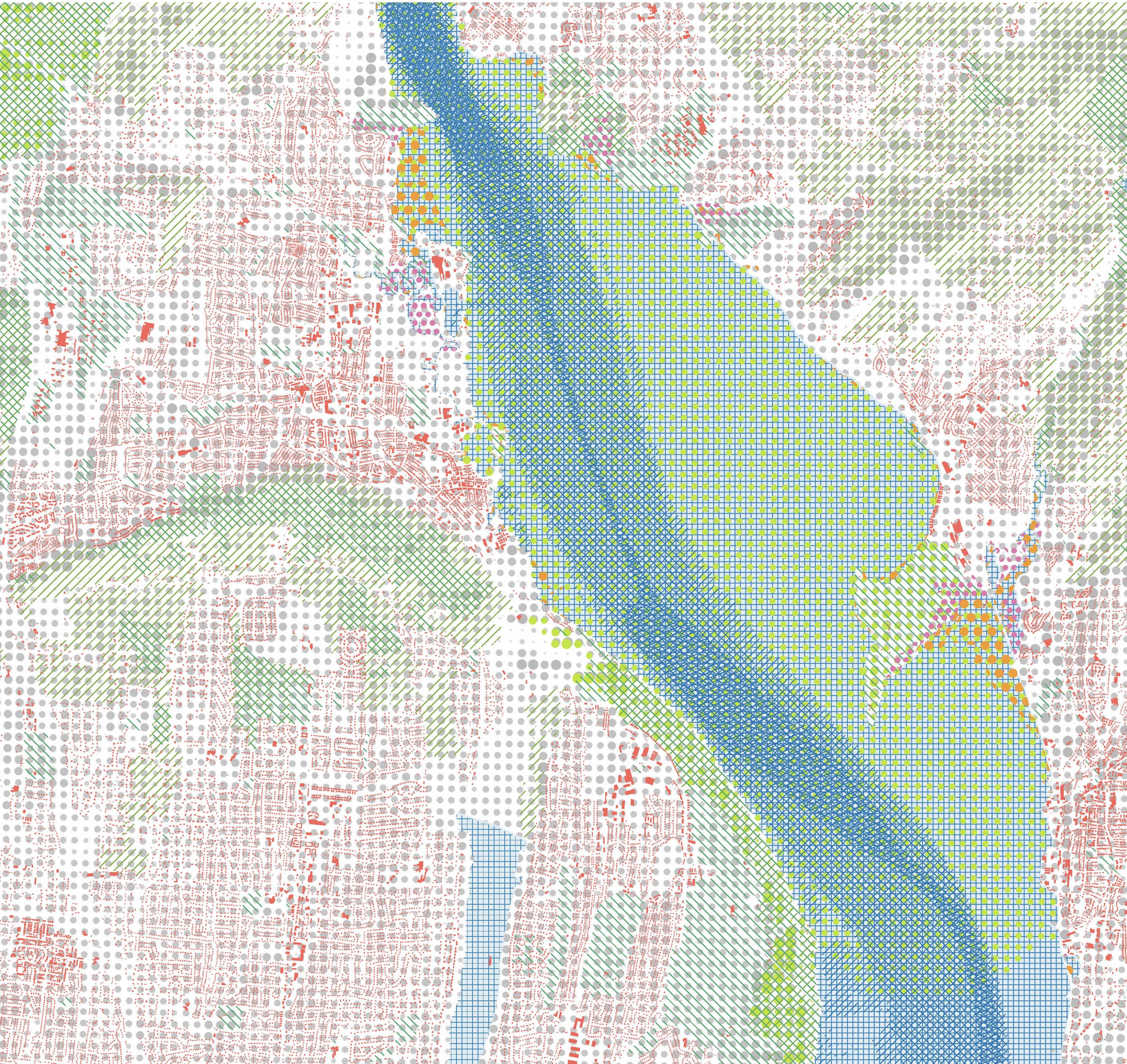
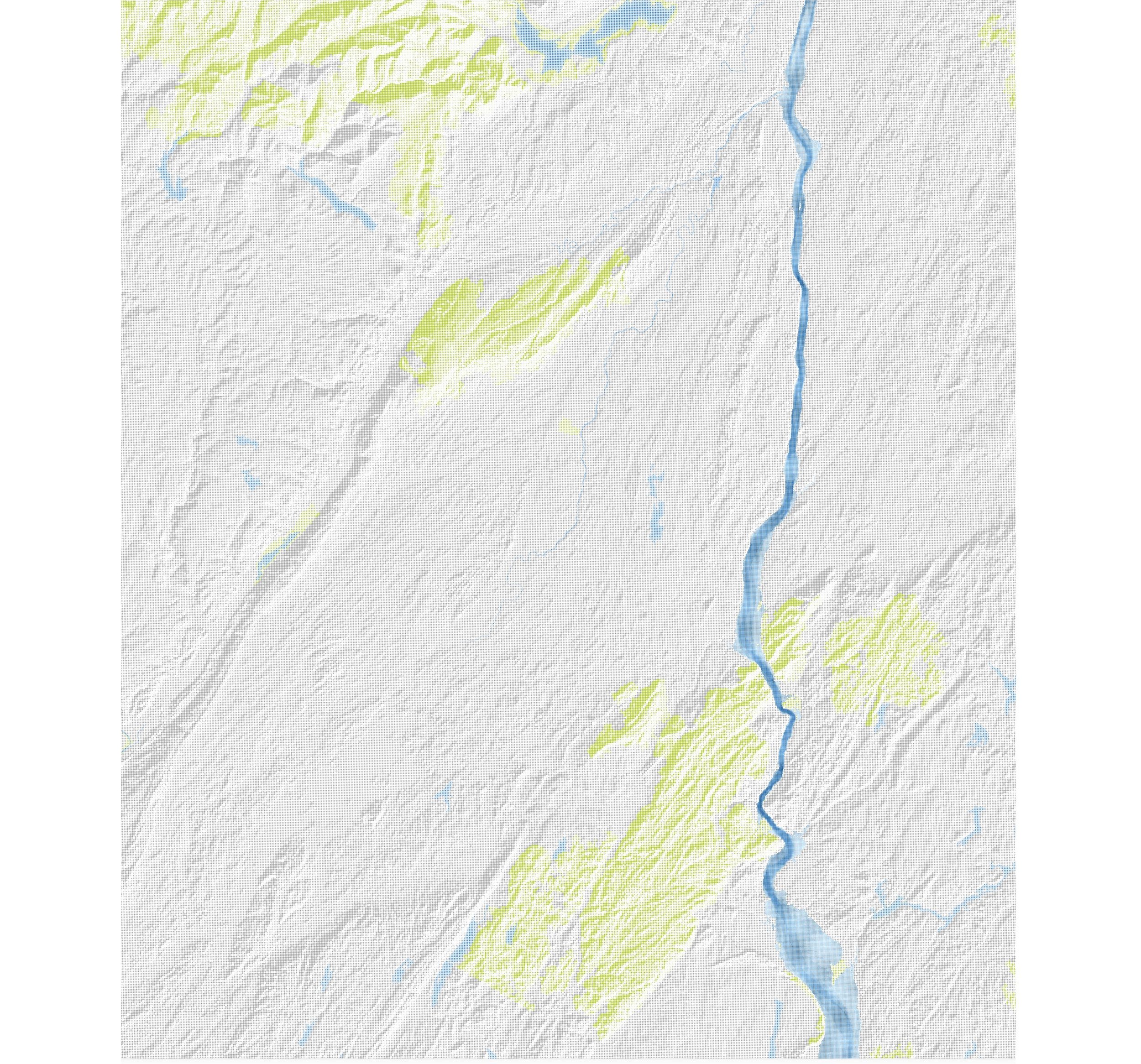
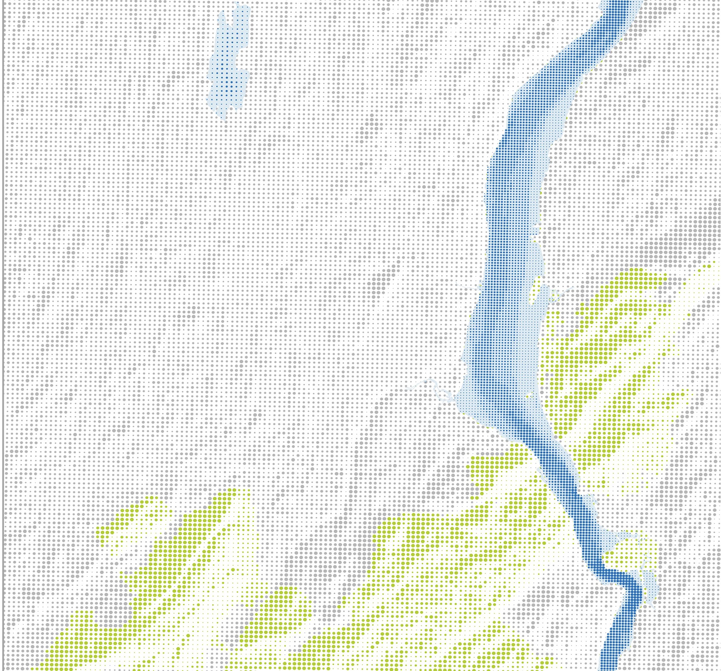
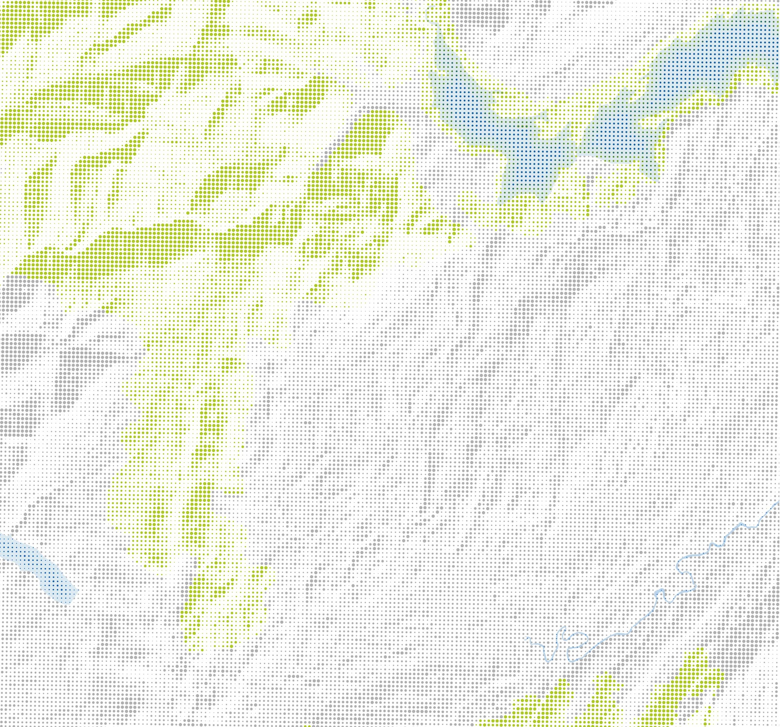
These spatial data drawings are part of an in-progress project will be printed as wallpaper for the entrance to the ADS Warehouse in Newburgh, NY. The maps experiment with layering patterns to establish a sense of scale and interplay between the different actors in the Hudson Valley such as birds, water, people and forests.
The use of point and line pattern fills allows for optical mixing of colors and data, underscoring the lack of distinct borders between these areas.
About the data
Important Bird Areas (IBA), a program is a global initiative of BirdLife International, implemented by Audubon and local partners in the US. The program identifies and aims to conserve areas that are vital to birds and other biodiversity. Audubon New York. 2007, updated 2017. The ADS Warehouse particpates in the Certified WILDS program at Audubon.
Submerged Aquatic Vegetation (SAV) is a productive nearshore underwater habitat that harbors a variety of fish and crustaceans. The NYSDEC Hudson River Estuary Program in collaboration with numerous partners has supported the mapping of vegetated habitats of the Hudson River Estuary.
Tidal Wetlands: 2014, updated 2016. Hudson River National Estuarine Research Reserve (HRNERR) and New York State Department of Environmental Conservation (NYSDEC).
Forest Patches: Forested areas greater than 100 acres in size. Forested areas are defined using 2016 national land cover types including deciduous forest, evergreen forest, mixed forest, shrub/scrub, and woody wetlands, and accounting for fragmentation by roads and railroads. This information can be used in conservation priority setting. NYSDEC, 2020.
NY Protected Areas Database: A spatial database of lands protected, designated, or functioning as open space, natural areas, conservation lands, or recreational areas.
Bing US Building Footprints: Microsoft, 2019
Topography + Bathymetry: US Geological Survey Digital Elevation Models